
Profile
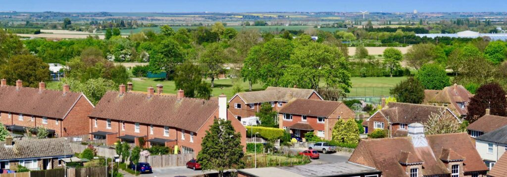
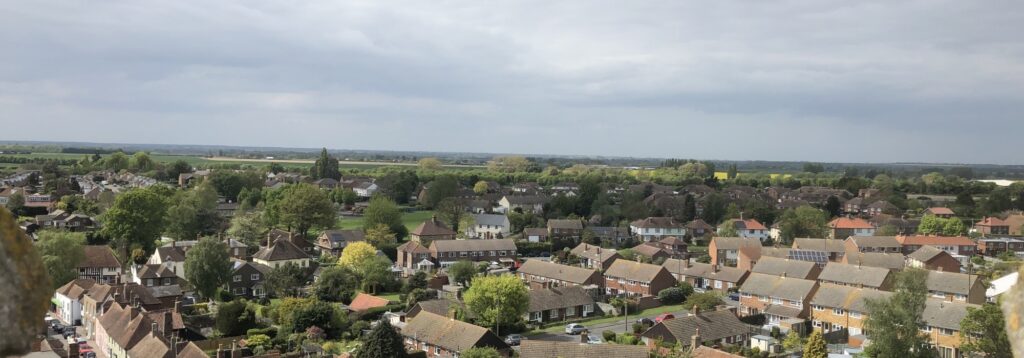
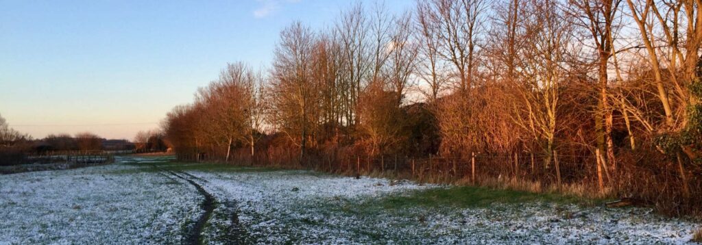
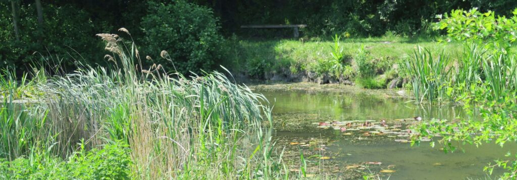
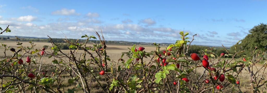
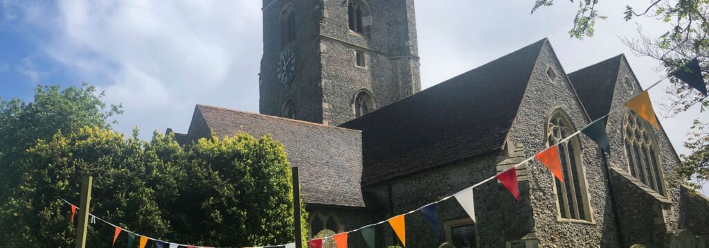
Ash is a large rural parish which sits in the corner of East Kent between the city of Canterbury and the old Cinque Port of Sandwich, to the north is the port of Ramsgate and to the south is the port of Dover. The parish is in an area known as the “Garden of England” and is one of the largest in Kent with over 7,000 acres (2,837 hectares) of mainly Grade 1 and 2 agricultural land which produces some of the best crops in the country. The Ash Levels to the north are mainly drained marsh land used for summer grazing for sheep and cattle.
The parish consists of the Ash village and hamlets (Westmarsh, Ware, Cop Street, Upper and Lower Goldstone, Richborough, Paramour Street and Hoaden). The village sits on a long, low sandy ridge that runs north-west to south-east. The village is situated in the south-west corner of the parish and is divided from the main agricultural area and hamlets by the A257 trunk road, (Ash bypass) which is the main link road between Canterbury and Sandwich and surrounding towns. The north boundary of the parish is the River Stour.

Map
Sorry, no records were found. Please adjust your search criteria and try again.
Sorry, unable to load the Maps API.
